Mud Creek Stream Mitigation Bank
CONTACT


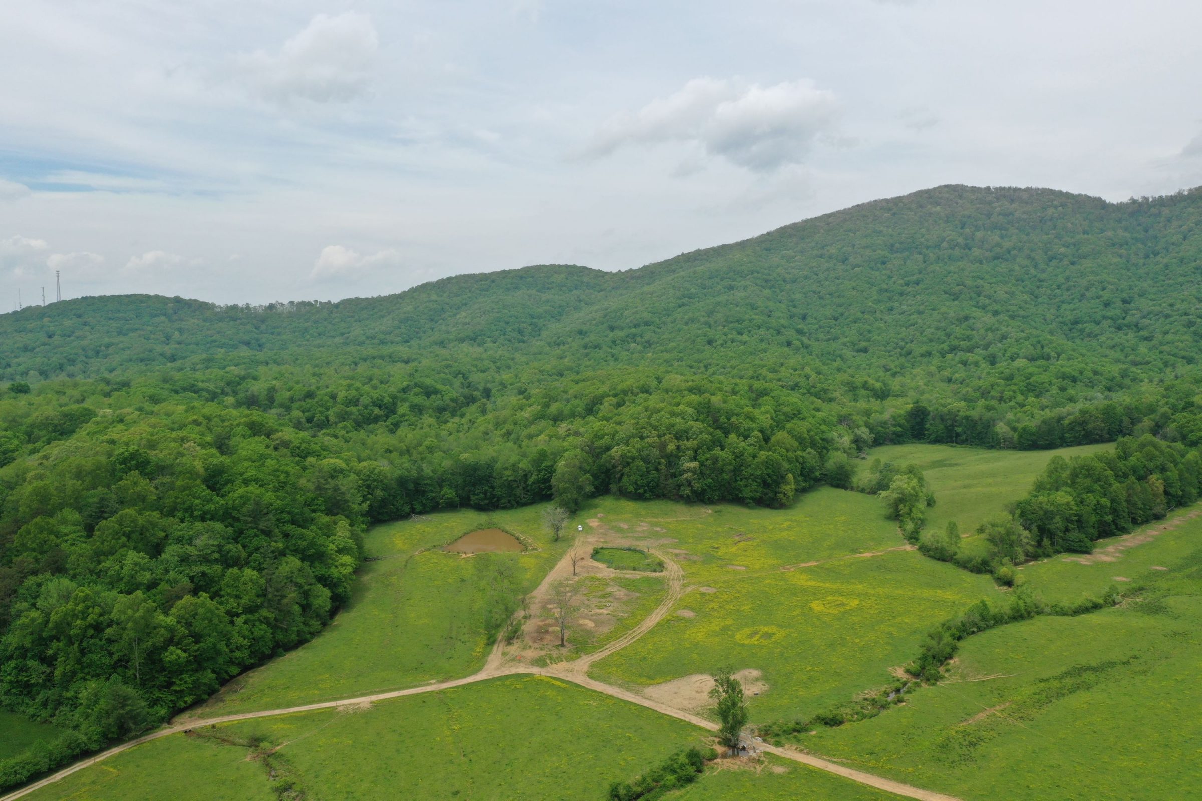
Mud Creek prior to restoration

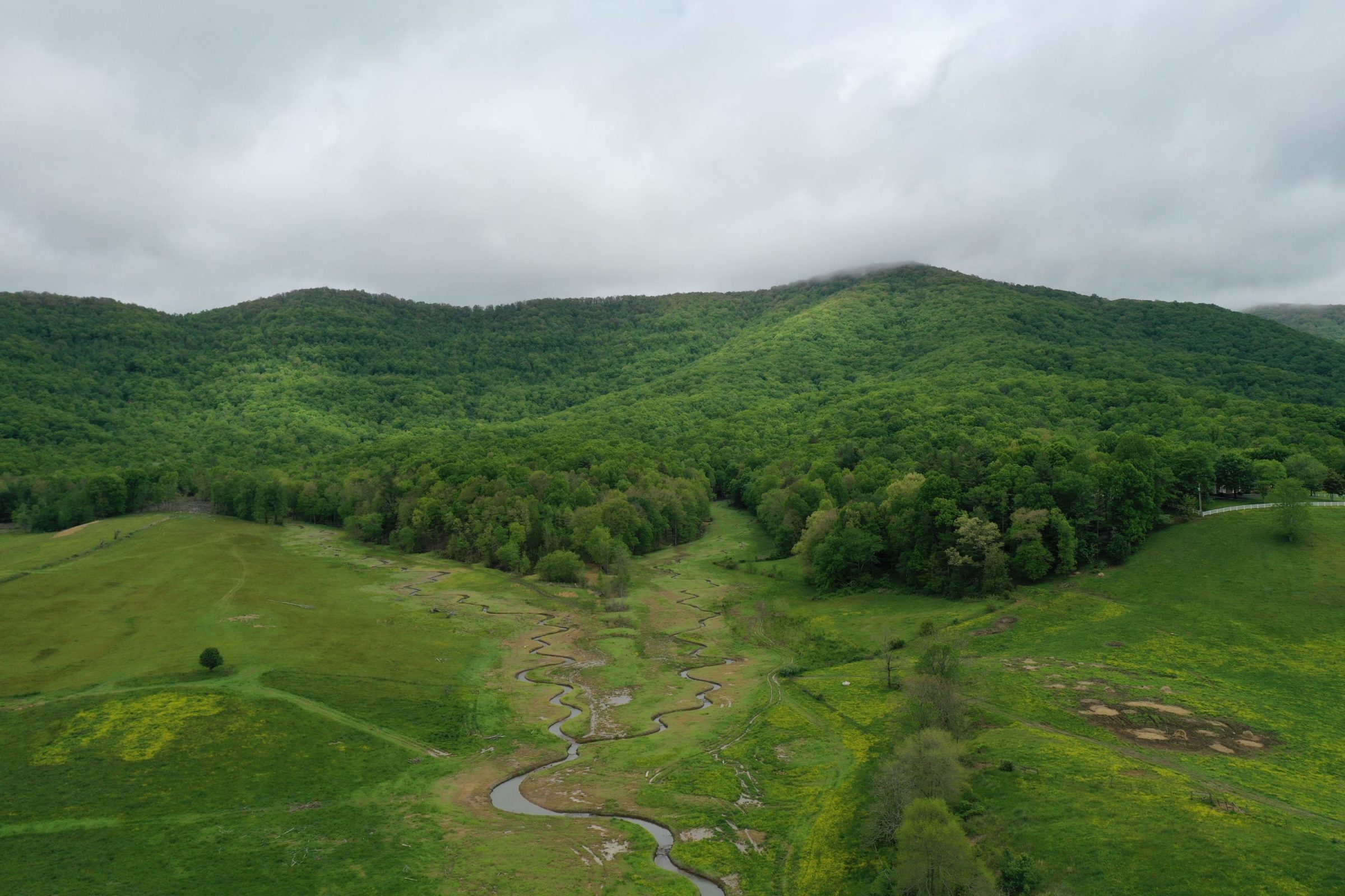
Mud Creek after restoration

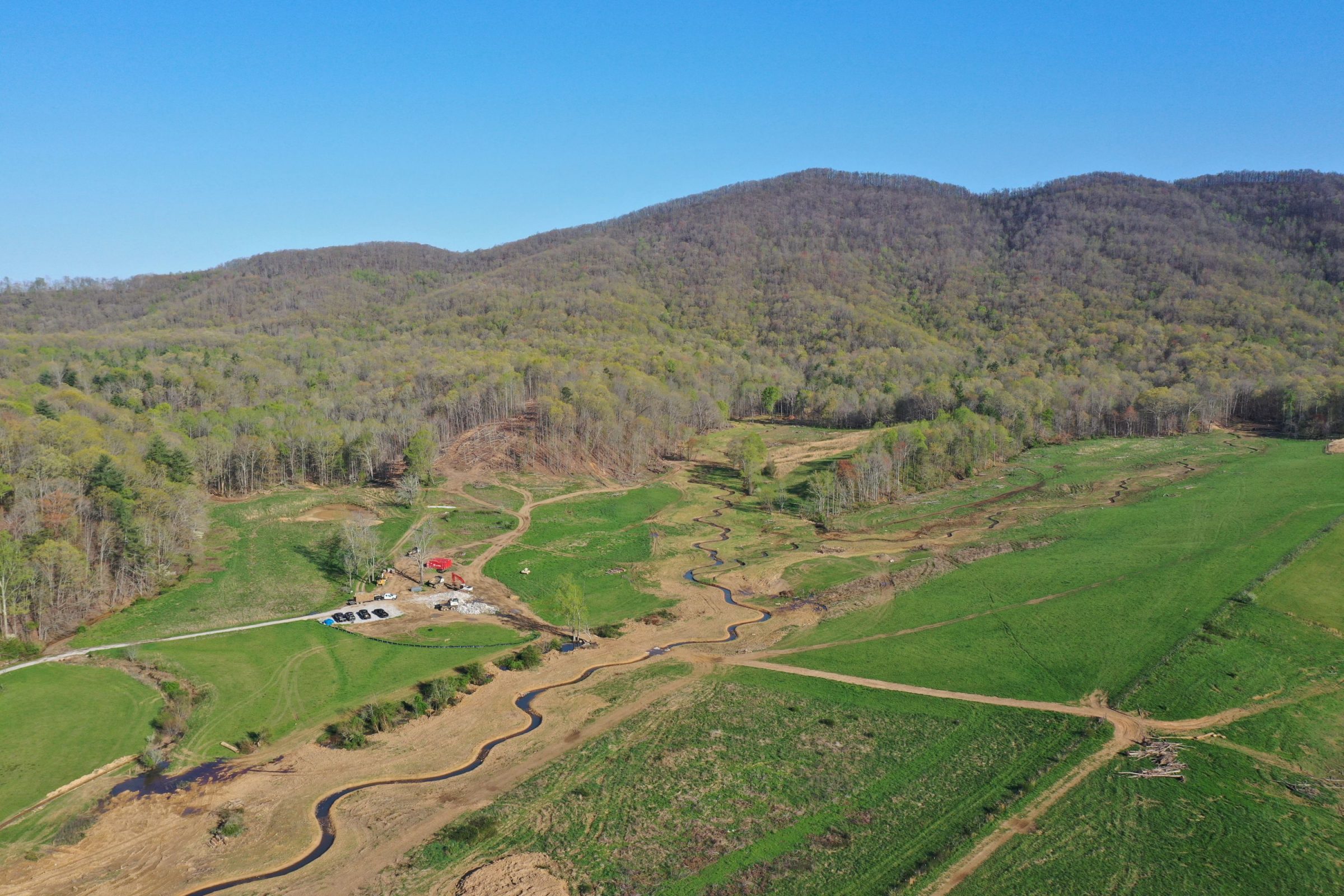
Mud Creek after restoration
PROJECT SNAPSHOT
Project Type
Mitigation BankLocation
Tennessee | Morgan CountyService Area
06010201-Watts Bar Lake | 06010207-Lower Clinch | 06010208-EmoryProject Size
- Streams: 36,234 LF
Solution
Wetland and Stream MitigationHabitat Types
- Stream
Ask About Credits
The Mud Creek Stream Mitigation Bank site is in east central Tennessee, approximately 27 miles northeast of Crossville in the central part of Morgan County in the town of Wartburg. Approximately 34 acres of this property are located within the HUC-12 Middle Emory River watershed, and the remainder of the property, approximately 914 acres, is located within the HUC-12 Crooked Fork watershed. These watersheds are located within the HUC-8 Emory River watershed, which is within the Upper Tennessee basin and falls on the line of the Level III eco-regions 68 (Southwestern Appalachians) and 69 (Central Appalachians). The site will incorporate approximately 6.9 miles (36,234 LF) of headwater intermittent and perennial stream channels along the main channel and several unnamed tributaries to Mud Creek.
