
Nookachamps Mitigation Bank
CONTACT

PROJECT SNAPSHOT
Project Type
Mitigation BankLocation
Washington | Skagit CountyService Area
Water Resource Inventory Area (WRIA) 3Project Size
- Wetland: 241 AC
Solution
Wetland and Stream MitigationCredit Types
- Buffer
- Wetland
Ecological Setting
- Floodplains
- Riparian Systems
- Wetlands
West Coast Credit Catalog
DownloadAsk About Credits
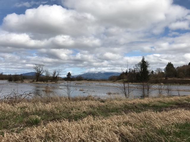
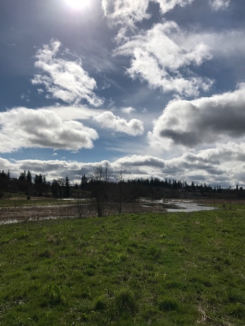
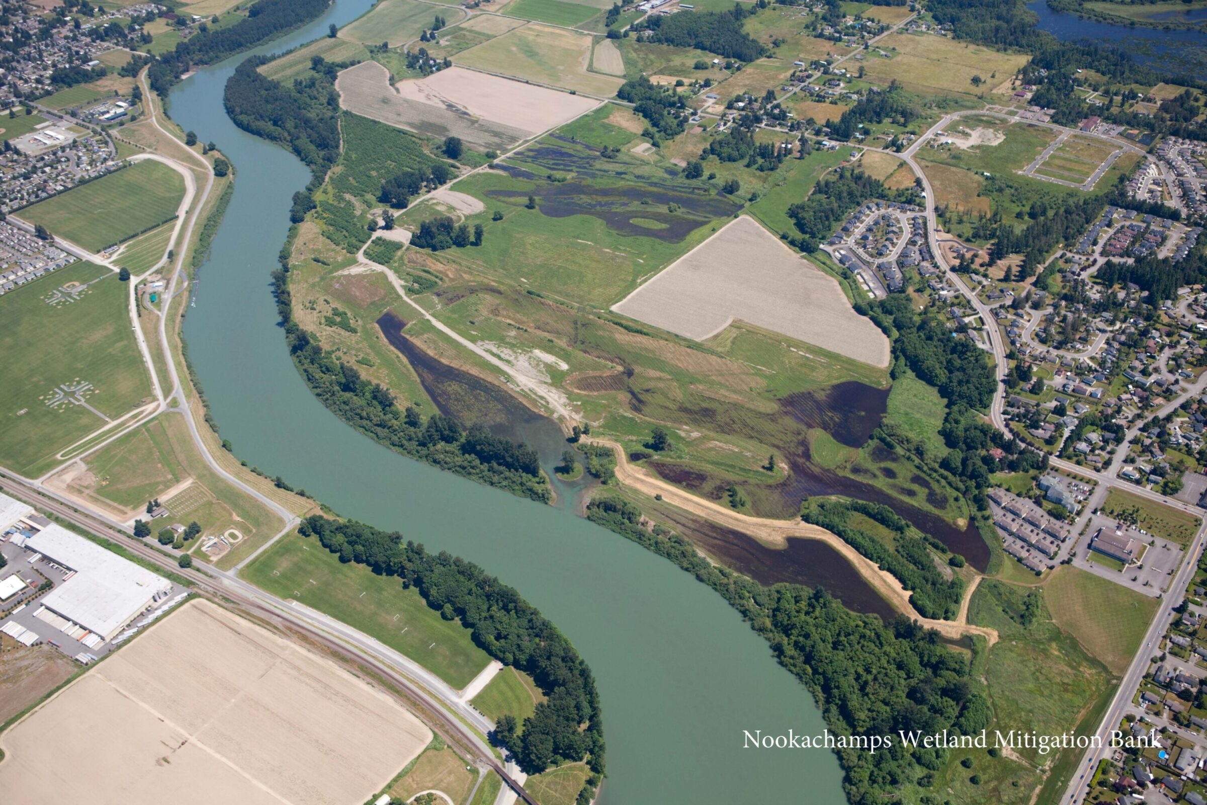
The Nookachamps Wetland Mitigation Bank (“Bank”) is a 282-acre site along the Skagit River in Skagit County, Washington. Many of the historic forest and wetland habitats in the Skagit River floodplain had been replaced with agricultural uses. As a result, off-channel sloughs, floodplain wetland, and riparian habitats were limited and severely degraded along most of the lower Skagit River.
The main ecological goal of the Bank is to enhance and restore these much-needed habitat types within the Skagit River system and re-establish the critical functions of wetlands and riparian habitats within the historic floodplain. Before the restoration activities, the Bank site was actively farmed in row crops, was hydrologically disconnected from the Skagit River, and provided limited wildlife habitat and wetland functions.
The Bank now consists of a mosaic of 241 acres of re-established floodplain wetlands, floodplain forest, open water channels, and riparian habitats. Historic habitats, hydrologic regimes, and connectivity to the river have been restored through grading, the planting of native vegetation, and the installation of habitat features such as woody debris. The restoration activities at the Bank have successfully enhanced degraded habitats within the Skagit River Basin, resulting in improvements to critical water quality and hydrologic functions. The Bank is also within critical habitat for Puget Sound Chinook salmon and bull trout, thus providing important off-channel rearing habitat for Skagit River salmonids.
The implementation of the Bank was developed in coordination and partnership with federal, state, local, and tribal entities. An Interagency Review Team approved the mitigation bank comprised of representatives from EPA, USACE, the Washington State Department of Ecology, and the Skagit River System Cooperative representing the Sauk Suiattle Indian Tribe and the Swinomish Indian Community.
Project Highlights
- Within Water Resource Inventory Area (WRIA) 3
- Provides habitat for Puget Sound Chinook Salmon and Bull Trout (no salmonid conservation credits at this time)
- Restored habitats include channel/palustrine emergent (PEM) wetlands, palustrine scrub-shrub (PSS) wetlands, palustrine forest (PFO) wetlands and riparian floodplain forest habitat Delete riparian floodplain forest, channels, and floodplain wetland
Service Area
- The wetland credit service area extends within Water Resources Inventory Area 03 (WRIA 03), located in the Lower Skagit River Basin, but is not all-encompassing, as shown in the service area map (link below).
- Buffer mitigation may be used within Skagit County as approved on a case-by-case basis.
Approving Agencies
- U.S. Army Corps of Engineers
- U.S. Environmental Protection Agency
- Washington Department of Ecology
- City of Mount Vernon
- Skagit County
- Skagit River System Cooperative
Available Credit Types
Download service area maps and KMZ files below: