Richards Mitigation Bank
CONTACT


PROJECT SNAPSHOT
Project Type
Mitigation BankLocation
Kentucky | Scott CountyService Area
Kentucky River | Service Area 6Project Size
- Streams: 15,045 LF
Solution
Wetland and Stream MitigationHabitat Types
- Stream
Ask About Credits
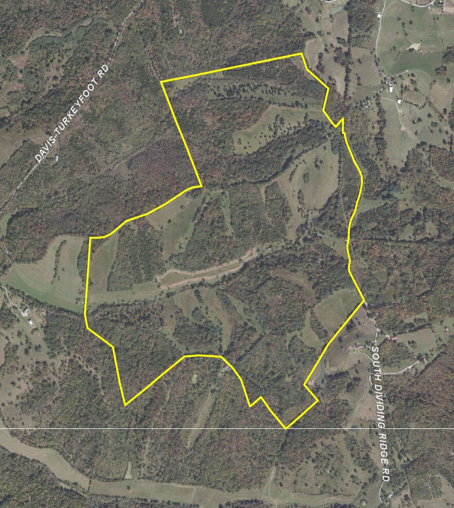
The Richards Property Mitigation Bank is located on 75 acres of a 348-acre parcel owned by The Nature Conservancy near Sadieville, Kentucky. Situated in the headwaters of the ecologically important Eagle Creek watershed, this mitigation bank provides habitat for more than 20 native freshwater mussels. The site was previously used for row crops and pasture and consists of young to mature forest habitats with several large, maintained open fields containing groups of mature trees. Like many streams in Kentucky, the streams within the site have been impacted by past agricultural practices such as channelization, stream relocation, riparian corridor deforestation, channel filling, open water impoundments, and pasture grazing.
RES incorporated natural channel design and construction techniques to restore 15,045 linear feet of degraded and headwater intermittent and ephemeral streams and riparian habitats. The mitigation and restoration activities will generate 13,669 stream mitigation credits in Service Area 6 of northern Kentucky. Additionally, the preservation of existing wooded habitat and replanting of wooded riparian habitat along restored stream channels provide suitable summer roosting habitat for the federally endangered Indiana bat and northern long-eared bat, and the reduction of sediment to downstream aquatic habitat will benefit mussels within the Eagle Creek Watershed.
