
Selma Mill
CONTACT
Credit Sales Coordinator, North Carolina

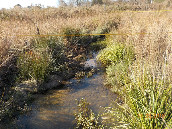
Selma Mill, during construction

Selma Mill, during construction

Selma Mill Mitigation Bank
Selma Mill Mitigation Bank
PROJECT SNAPSHOT
Project Type
- Mitigation Bank
- Nutrient Bank
Location
North Carolina | Johnston CountyService Area
Neuse-01Project Size
- Wetland: 34.2 AC
- Streams: 7064 LF
- Nutrient: 4,158 IBS
Solution
- Water Quality
- Wetland and Stream Mitigation
Credit Types
- Buffer
- Nitrogen
- Nutrient
- Stream
Ask About Credits
The Selma Mill riparian buffer and nutrient bank’s service area is Hydrologic Unit Code (HUC) 03020201 of the Neuse River watershed, below Falls Lake. Before restoration, agricultural impacts were prevalent, including nonpoint source runoff and hydrologic modification. Priority projects for this watershed included projects that promoted nutrient and sediment reduction, as well as focusing restoration on achieving the most functional improvement to the ecosystem possible. A secondary priority concentrated on developing projects that reestablish riparian buffers and corridors of substantial width to improve connectivity to larger intact conservation areas. The Selma Mill Buffer and Nutrient Offset Site is located in southeast Johnston County, NC, immediately north of Selma. The site easement includes three unnamed tributaries and stormwater runoff from adjacent pastures that flow directly to Mill Creek. A majority of the site was previously used for livestock grazing, pasture, and row-crop production. Restoration of the riparian buffer resulted in immediate water quality benefits within the vicinity of the site through the removal of livestock access to site streams. The riparian restoration activities on the site also resulted in improved water quality to the downstream watershed.