
Horizontal Directional Drill (HDD) Permitting
PROJECT SNAPSHOT
Project Type
Non-Bank ProjectLocation
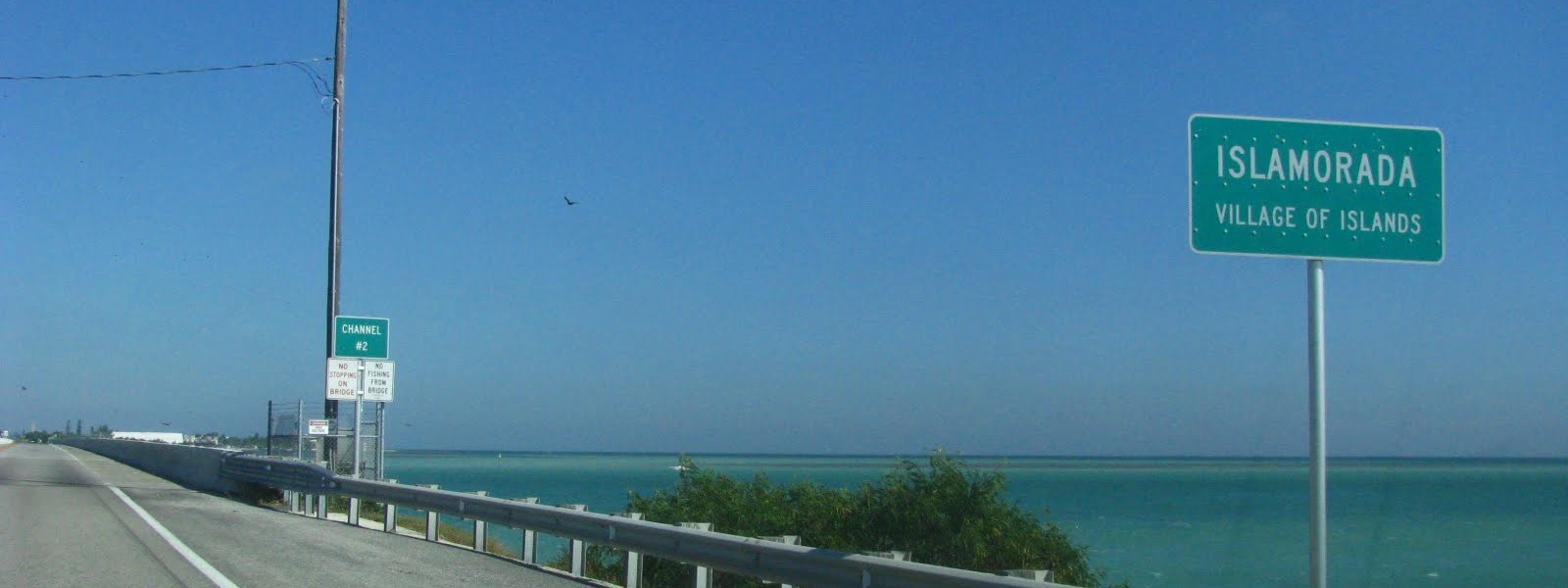
Florida | Islamorada, Village of IslandsSolution
Advisory ServicesIslamorada, Village of Islands, in partnership with Reynolds Water Islamorada, extended sanitary sewer service to its incorporated islands of Plantation Key, Windley Key, and Upper and Lower Matecumbe keys. Wastewater is now collected from residential and commercial areas and conveyed to the Key Largo Wastewater Treatment Facility via a transmission main installed along US Highway 1 and under seven channels in FDOT right-of-way utilizing Horizontal Directional Drill (HDD) technology.
RES, then Sandra Walters Consultants (SWC), was responsible for acquiring all required HDD environmental permits, including performing all pre-construction data collection tasks.
Work included an extensive marine data collection process in the area of the drill corridors that incorporated more stringent assessment protocols now required due to recent additions of coral species to the federal endangered species list. One of the upland staging area locations also required protected species data collection.
With effective advance coordination and thorough applications, SWC acquired permits from the Florida Department of Environmental Protection, U.S. Army Corps of Engineers, and the Florida Keys National Marine Sanctuary within three months of filing the applications, a task that typically takes 12-18 months. SWC and engineers avoided impacts to all wetlands at the staging areas—a major accomplishment that greatly reduced permitting issues.
Specific SWC accomplishments included:
- work with the project engineer to identify corridors and staging areas
- extensive coordination with the staff of U.S. Army Corps of Engineers, Florida Department of Environmental Protection, Florida Keys National Marine Sanctuary, Environmental Protection Agency, National Marine Fisheries Service, and U.S. Fish and Wildlife Service before application submittal
- design of benthic habitat survey methodology to assess seven bridge spans across navigational channels
- coordination with project engineers to develop construction plans that avoid and minimize impacts to natural resources
- supervision of field data collection, conducted analysis of data, and prepared a report presenting benthic data
- preparation of permit applications and all attachments to address all questions raised by permit and review agencies
- filing of permit applications within three months of work inception
- working with agencies to address any remaining questions and make requested revisions to permit documents—with no official Requests for Additional Information (RAIs) to slow the process
- acquired all permits in less than three months from filing applications
- conducted full-time permit environmental compliance monitoring and reporting during the drilling process