Places > Belle Meade Nutrient Bank
Belle Meade Nutrient Bank
CONTACT
Credit Sales Coordinator, Virginia

PROJECT SNAPSHOT
Project Type
Mitigation BankLocation
Virginia | Culpeper CountyService Area
Rappahannock River BasinSolution
Water QualityCredit Types
- Nitrogen
- Nutrient
- Phosphorus
Ask About Credits
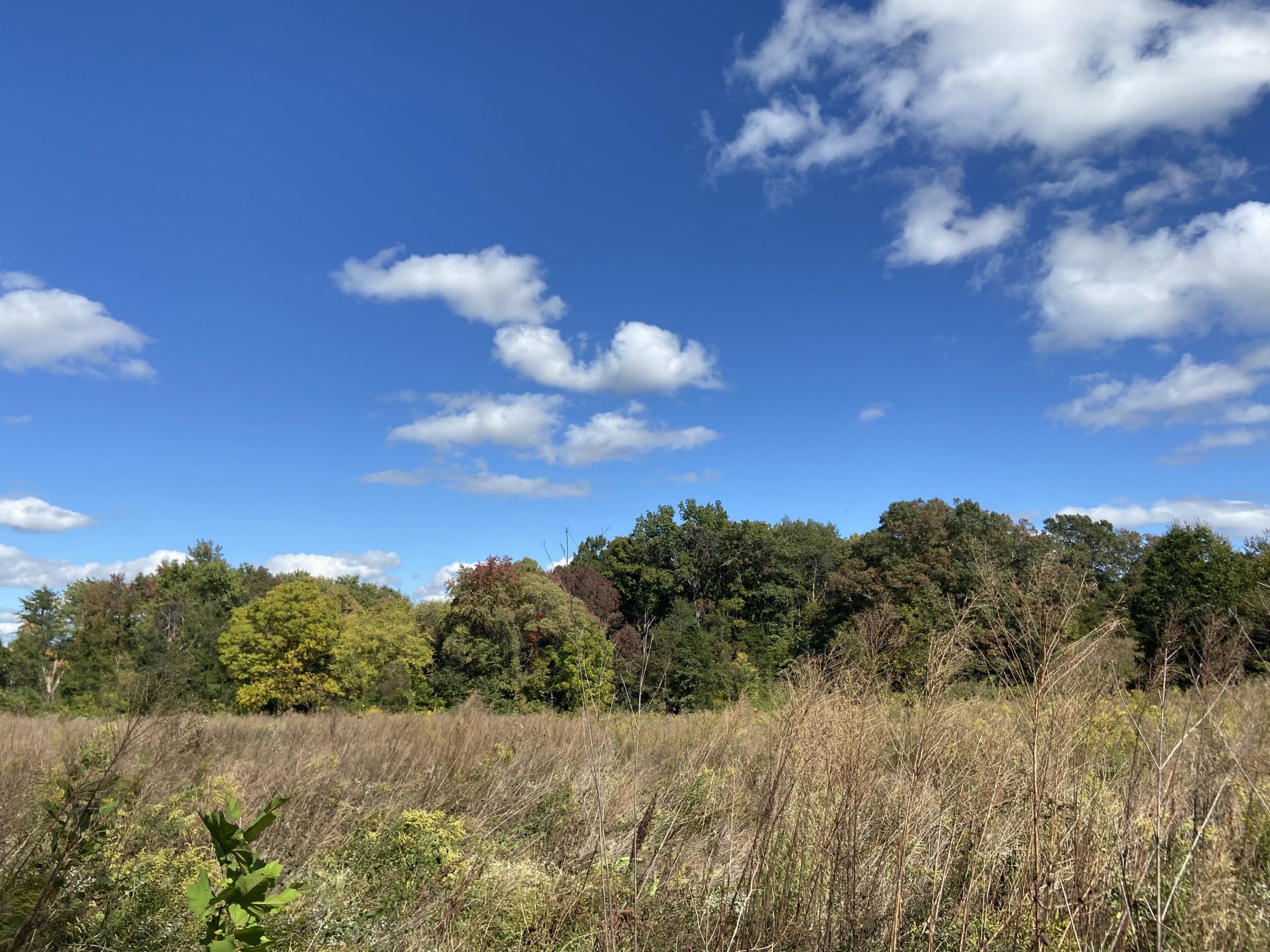
The goal of this 48.91 acre nutrient bank located in Culpeper County is to reduce nutrient (phosphorus) and sediment loading into the Rappahannock Watershed via the conversion of active agricultural land into forest; and generate non-point nutrient credits for transfer under existing and future federal, state and local law, programs, regulations and guidance. The site primarily consists of hay field. The land use conversion including Phase I and Phase II will generate 188.30 pounds of nitrogen reduction and 47.93 pounds of phosphorus reduction. Phase I has been completed on 10.26 acres of hay field generating 39.50 pounds of nitrogen and 10.05 pounds of phosphorus credits.
