Big Bend Wetland Mitigation Bank
CONTACT


Big Bend Mitigation Bank

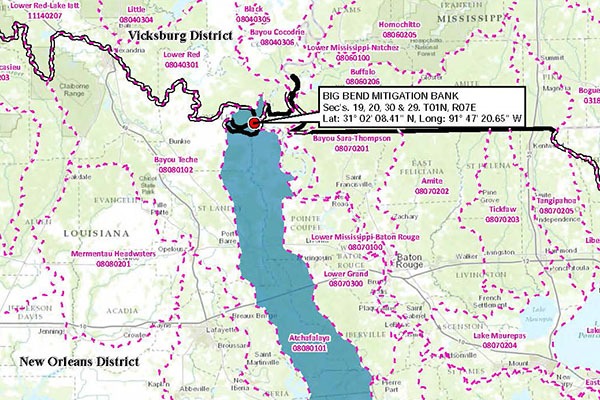
Big Bend Mitigation Bank, Service Area
PROJECT SNAPSHOT
Project Type
Mitigation BankLocation
Louisiana | Avoyelles ParishService Area
LRAM-Atchafalaya BasinProject Size
- Wetland: 303.9 AC
Solution
Wetland and Stream MitigationCredit Types
- Bottomland hardwood forest
- Wetland
Ask About Credits
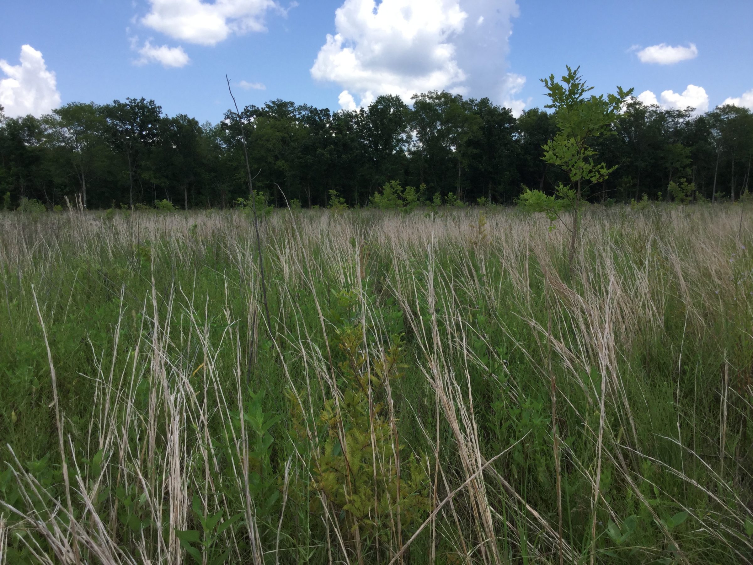
The Big Bend Mitigation Bank (BBMB) historically existed as BLH wetlands connected hydrologically with adjacent surrounding wetlands of similar habitat type. Prior to the construction of artificial drains, surface water was able to transfer via sheet flow to and from the site and adjacent properties. The BBMB will re-establish (155.4 acres) and rehabilitate (117.5 acres) 272.9 acres of BLH habitat that was converted agricultural fields in the 1970s. The total bank encompasses 303.9 acres with the excess being hydric inclusion (7.0 acres), non-hydric inclusion (16.9 acres) and non-hydric buffer (6.9 acres). The collective goal of the Bank is to provide restored and rehabilitated wetland habitat that can be used to replace the exact function and value of wetlands that are adversely affected by projects within the basin, in accordance with Section 404 of the Clean Water Act.
