Places > Black Bayou – Phases I, II, III, IV Stream and Wetland Mitigation Bank
Black Bayou – Phases I, II, III, IV Stream and Wetland Mitigation Bank
CONTACT


Black Bayou Mitigation Bank
PROJECT SNAPSHOT
Project Type
Mitigation BankLocation
Louisiana | Catahoula ParishService Area
08040202-Lower Ouachita-Bayou De Loutre | 08040205-Bayou Bartholomew | 08040206-Bayou D'Arbonne | 08040207-Lower OuachitaProject Size
- Wetland: 2,632.94 AC
- Streams: 19,729 LF
Solution
Wetland and Stream MitigationCredit Types
- Bottomland hardwood forest
- CWA 404
- Stream
Ask About Credits
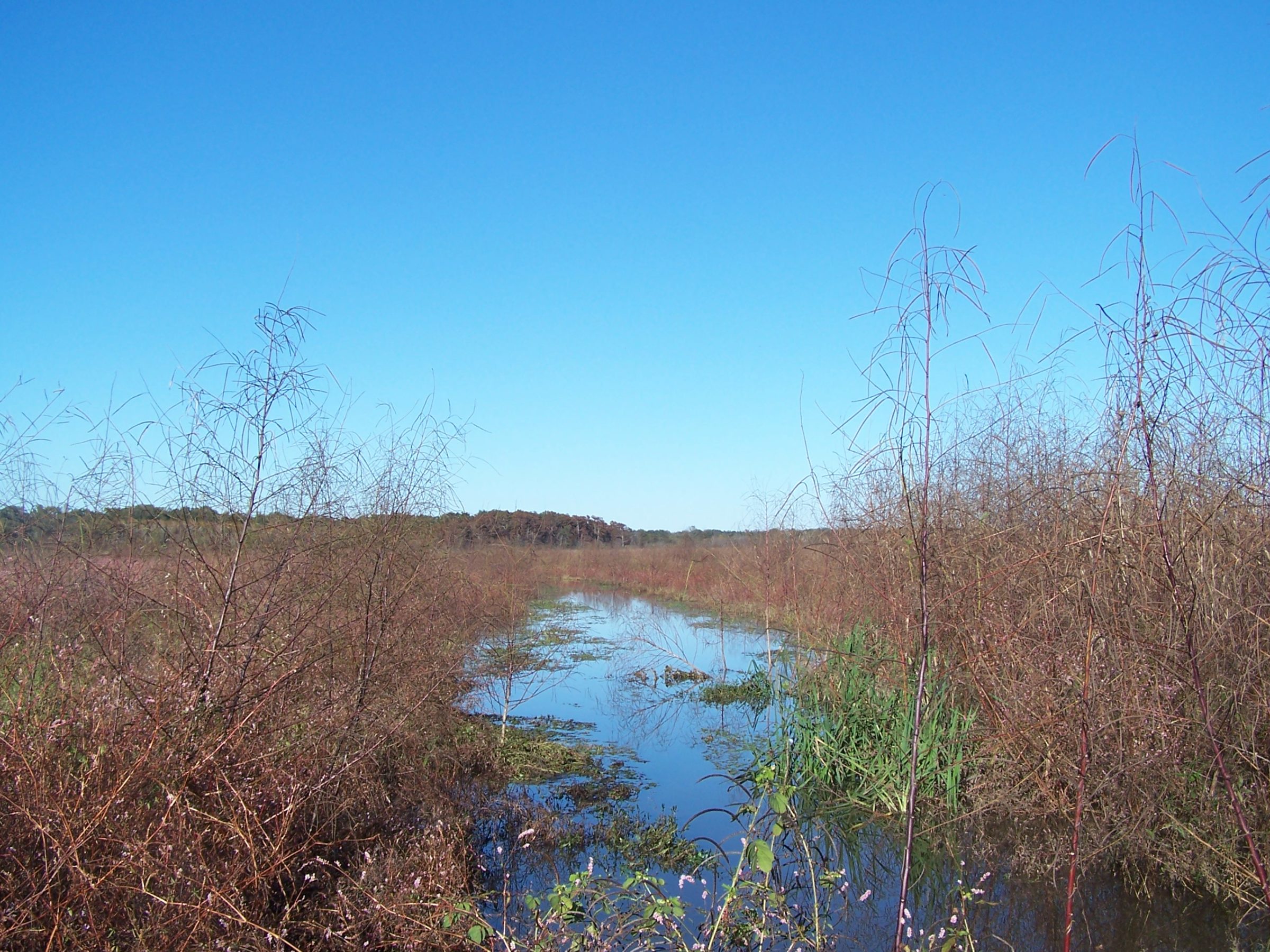
The Black Bayou Mitigation Bank includes four phases of restoration activities. Phase I restored 577 acres of agricultural land into Bottomland hardwood forest (BLH). Phase II restored and/or protected 115.1 acres of agricultural land into BLH, including 3.74 miles of stream channel. Phase III restored and/or protected 613.12 acres of agricultural land, including 5.26 acres of non-mitigation ponds. Phase IV restored 996 acres of bottomland hardwood restoration, 171 acres of wetland riparian buffer, and 32 acres of non-mitigation land for access roads and right-of-way (ROW).
