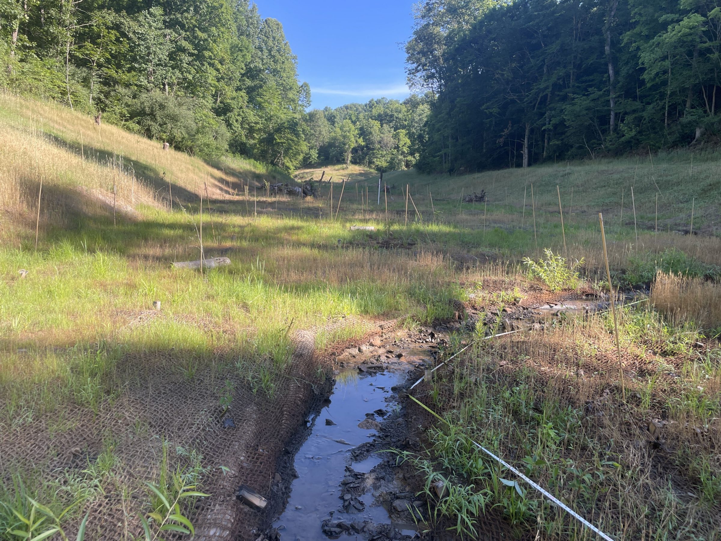
Cherry Ridge Mitigation Bank
CONTACT


Monitoring, year 1
PROJECT SNAPSHOT
Project Type
Mitigation BankLocation
West Virginia | Lewis CountyService Area
West Fork Watershed | HUC 05020002Project Size
- Streams: 56,206 feet LF
Solution
Wetland and Stream MitigationCredit Types
- Stream
Ask About Credits
The Cherry Ridge Mitigation Bank, nestled in Lewis County, West Virginia, within the West Fork Watershed, is vital in safeguarding and restoring the region’s natural ecosystems. This 259.22-acre site serves as a critical lifeline for stream and wetland conservation, offsetting unavoidable environmental impacts through large-scale ecological renewal. Once degraded valley-bottom streams and wetlands have been carefully restored to thriving habitats, high-gradient streams flourish through targeted enhancement and long-term preservation efforts.
With 56,206 feet of waterways restored, enhanced, and protected, the Cherry Ridge Mitigation Bank strengthens biodiversity, improves water quality, and stabilizes hydrological processes. This project not only rejuvenates aquatic ecosystems but ensures their resilience, fostering healthier habitats for wildlife and creating a sustainable environmental legacy for generations to come.
