Places > Consumer Energy Pipeline Corridor Wetland Monitoring
Consumer Energy Pipeline Corridor Wetland Monitoring


PROJECT SNAPSHOT
Project Type
Non-Bank ProjectLocation
Michigan | Branch and St. Joseph CountiesSolution
Natural Resource RestorationEcological Setting
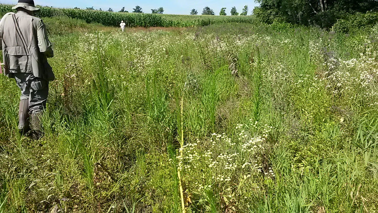
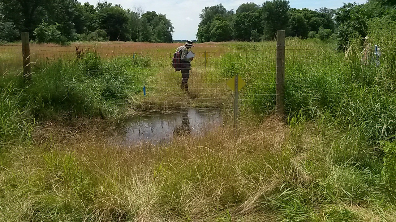
WetlandsA 24-mile natural gas pipeline extension in southeastern Michigan unavoidably impacted 13 wetlands regulated by the Michigan Department of Environmental Quality. After construction and backfilling using stockpiled wetland soil, the Department required quantitative vegetation monitoring to gauge the recovery of restored wetlands relative to performance standards.
Using standard transect and quadrat protocols, RES conducted the quantitative ecological monitoring at each of the 13 discreet wetlands. Our ecologists recorded 246 plant species, including 183 native species. All 13 wetlands supported a predominance of hydrophytes including many native species, greatly exceeding the required minimum number of native wetland species.
