Dairyland Stream Mitigation
CONTACT
Credit Sales Coordinator, North Carolina

PROJECT SNAPSHOT
Project Type
Mitigation BankLocation
North Carolina | Orange CountyService Area
Cape Fear 02Project Size
- Wetland: 28.6 AC
Solution
Wetland and Stream MitigationCredit Types
- Stream
Ask About Credits
The Dairyland Stream Mitigation site is located in Orange County, North Carolina, about eight miles southwest of Hillsborough. Dairyland is within the Haw River portion of the Jordan Lake Watershed, 03030002 HUC, which is highly developed along the I-40 Corridor from Greensboro to Chapel Hill, and is dominated by agricultural and forested areas south and north of the I-40 Corridor.
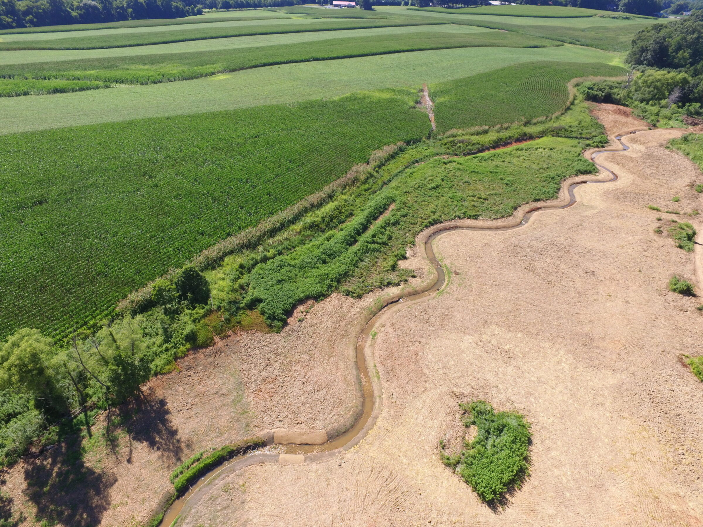
Pre-restoration, the project area exhibited diminished hydrology and habitat value as a result of past agricultural activities. The project watershed is primarily characterized by agriculture, forests, and low-intensity residential areas. Land use at the site is characterized by the row crop production, pasture, impoundments, and disturbed forest. Pre-restoration, riparian zones were primarily composed of herbaceous vegetation and scattered trees located adjacent to the streams. The project area contains two parcels totaling 28.6 acres of conservation easement in the southwestern Orange County, NC. Hudson Branch (HB-1 and HB-2) and two unnamed tributaries (including two ponds) encompass the majority of the northern part of the project area. Watery Fork (WF-1 and WF-2) begins on the northern parcel, then crosses Dairyland Road and flows to the southeast. The project is hydrologically connected to a separate conservation easement downstream of Dairyland Road.
The project presents 3,657 Stream Mitigation Units (SMU) through a combination of stream, restoration, enhancement, and preservation. Construction was completed in 2018. Project benefits include the storage of excess water during flood events, preventing erosion of stream banks, reducing in-stream sedimentation, restoring aquatic passage, thermal regulation, and nutrient reductions.
