Dogtown Mitigation Bank
CONTACT
Credit Sales Coordinator, North Carolina

Dogtown Mitigation Bank | Pre-restoration

PROJECT SNAPSHOT
Project Type
- Mitigation Bank
- Nutrient Bank
Location
North Carolina | Catawba CountyProject Size
- Streams: 11,026 LF
Solution
- Water Quality
- Wetland and Stream Mitigation
Ask About Credits
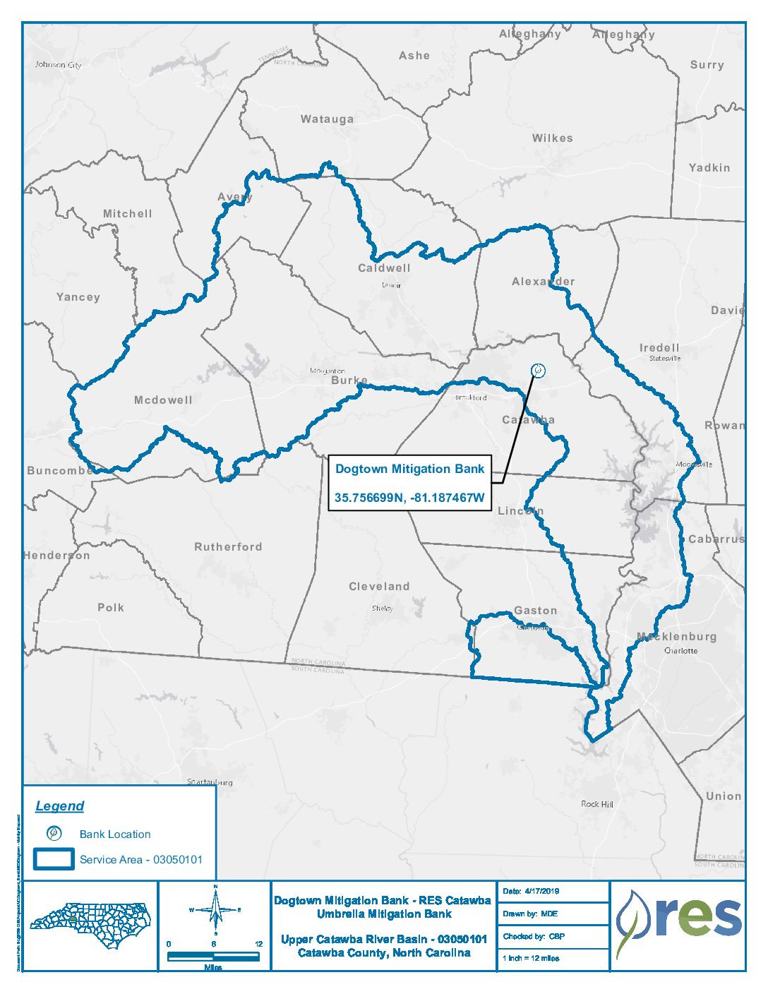
The Dogtown Mitigation Bank Site presents an opportunity to restore, enhance, and preserve 11,026 linear feet of stream and riparian corridor, generating a base amount of 7,786 Stream Mitigation Units (SMUs). The site will provide numerous ecological and water quality benefits within the Catawba River Basin, including Improving water quality, hydrologic function, and habitat. These benefits are not limited to the project area but have more far-reaching effects throughout the Catawba River Basin.
As stated in the North Carolina Division of Mitigation Services (DMS) Catawba River Basin Restoration Priorities (RBRP) report (amended 2013), the following restoration and protection goals are listed for the watershed:
- Protection of drinking water supplies, including the reservoirs of Mountain Island Lake, Lake Norman, and Lake Rhodhiss
- Restoring impaired biology on creeks impacted by stormwater runoff
- Protecting important species and significant natural and cultural resources in Lyle Creek
This bank is designed to help meet goals one and two. The project will address stressors identified in the watershed through nutrient removal, sediment removal, runoff filtration, and improved aquatic and terrestrial habitat.
Additionally, the Dogtown Project presents the opportunity to develop 606,141.24 riparian buffer mitigation credits by establishing or preserving a native forested and herbaceous riparian buffer plant community with a minimum width of 50 feet and a maximum of 200 feet from the top of the bank of the mitigated channels.
