Places > Foster Run Stream Mitigation
Foster Run Stream Mitigation
CONTACT


PROJECT SNAPSHOT
Project Type
Mitigation BankLocation
West Virginia | Tyler CountyService Area
5020002-West Fork | 5020003-Monongahela | 5030101-Upper Ohio North | 5030106-Upper Ohio South | 5030201-Middle Ohio North | 5030203-Little KanawhaProject Size
- Wetland: 3.95 AC
- Streams: 59,381 LF
Solution
Wetland and Stream MitigationCredit Types
- Bottomland hardwood forest
- CWA 404
- Riparian
- Stream
- Wetland
Ask About Credits
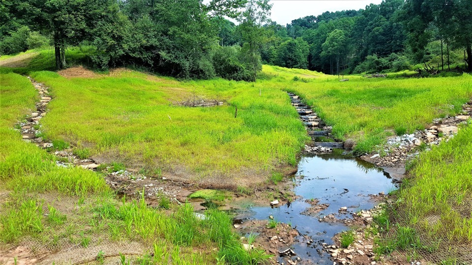
The Foster Run Mitigation Bank is located on approximately 347.03-acres, on five parcels of land. The goal of the Foster Run Mitigation Bank is to restore, enhance, and preserve self-sustaining, functional streams and wetlands to mitigate for the functions lost due to unavoidable off-site impacts to streams and wetlands. The over-arching goal of this project is to restore hydrology, hydraulic, and geomorphic functions to stream and riparian ecosystems within the site boundary.
