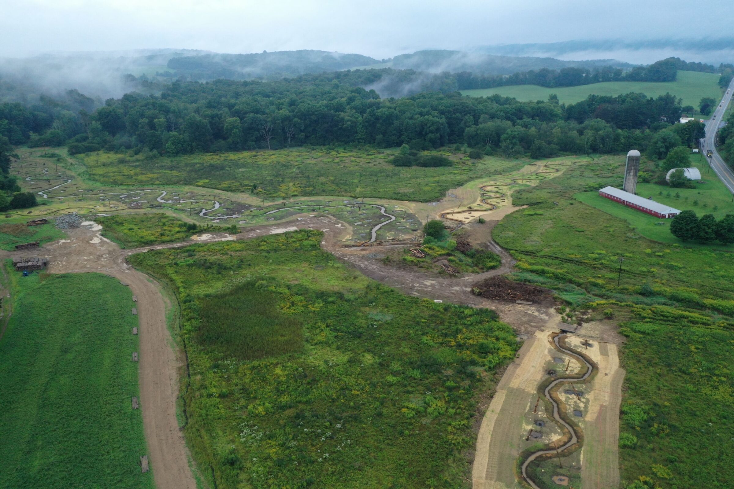
Laurel Hill Creek Mitigation Bank
CONTACT

Jon Kasitz
Region Manager, Client Solutions, East

September 2020
PROJECT SNAPSHOT
Project Type
Mitigation BankLocation
Pennsylvania | Somerset CountyService Area
HUC 02040203Project Size
- Wetland: 16 AC
- Streams: 19,000 LF
Solution
Wetland and Stream MitigationCredit Types
- Stream
- Wetland
Ask About Credits
Laurel Hill Creek Mitigation Bank is a large watershed scale mitigation bank intending to restore and preserve self-sustaining functional stream, wetland, and riparian corridors. Across the Project, approximately 19,000 linear feet of streams and 16 acres of wetlands were restored or enhanced. Project development efforts provide an in-kind replacement for the direct loss or functional degradation of stream and wetland resources that result from unavoidable impacts within the Monongahela River Subbasin or adjacent Subbasins.
The Project was approved and constructed in 2020. The Project is entering its first year monitoring period and is expected to demonstrate outstanding performance.
