Licking Run Nutrient Bank
CONTACT
Credit Sales Coordinator, Virginia

PROJECT SNAPSHOT
Project Type
Nutrient BankLocation
Virginia | Fauquier CountyService Area
PotomacSolution
Water QualityCredit Types
- Phosphorus
Ask About Credits
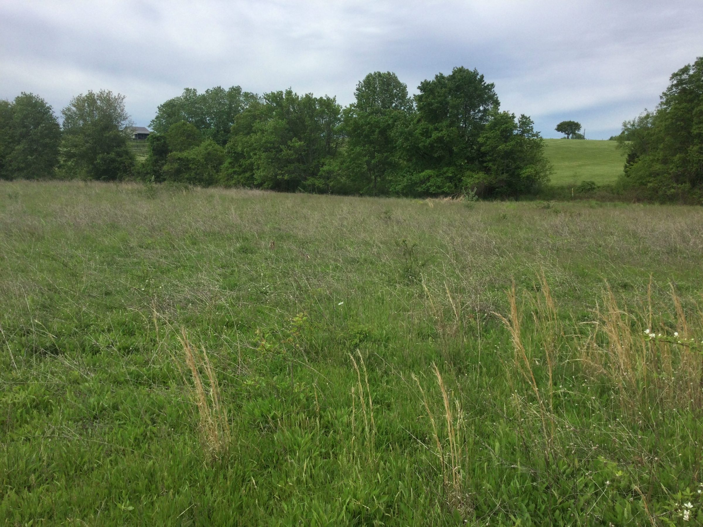
The Licking Run Nutrient Bank encompasses approximately 41 acres in Fauquier County, Virginia, within the Potomac River watershed. The property includes 26.24 acres of active agricultural land in hay, 5.59 acres of forested land, 5.08 acres of fallowed land, 3.34 acres of viticulture, and 0.98 acres of residential use. The site drains directly into Licking Run, which flows eastward to Cedar Run, then to the Occoquan River, and ultimately to the Potomac River before reaching the Chesapeake Bay.
In early 2018, RES initiated the conversion of agricultural and fallow fields to forested land to reduce nutrient and sediment runoff and generate nutrient credits. By transitioning historic row crop and hay fields into native forest, the project delivers measurable nutrient reductions that improve downstream water quality throughout the Potomac watershed.
Project objectives include:
-
Reducing nutrient and sediment loads (nitrogen and phosphorus) to the Potomac River and Chesapeake Bay through the conversion of agricultural land to forest.
-
Generating nonpoint nutrient credits in accordance with state and federal programs and guidance, including the Virginia Department of Environmental Quality (DEQ), by implementing sustainable land-use changes that permanently reduce nutrient export from the property.
Through these efforts, the Licking Run Nutrient Bank contributes to regional goals for improving water quality, supporting the Chesapeake Bay Total Maximum Daily Load (TMDL) requirements, and advancing watershed-scale ecological restoration.
