Places > Lodi Mitigation Bank
Lodi Mitigation Bank
CONTACT


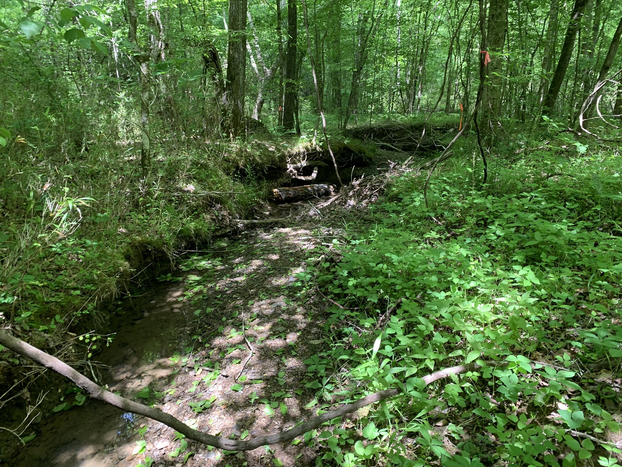
Incised stream banks prior to restoration
PROJECT SNAPSHOT
Project Type
Mitigation BankLocation
Tennessee | McMinn CountyService Area
06010201-Watts Bar Lake | 06010204-Lower Little Tennessee | 06020001-Middle Tennessee-Chickamauga | 06020002-HiwasseeProject Size
- Streams: 16,736 LF
Solution
Wetland and Stream MitigationCredit Types
- Stream
- Wetland
Ask About Credits
The Lodi Mitigation Bank is located in southeast Tennessee, approximately seven miles west of Athens in the western part of McMinn County. This 101-acre project is situated in the upper portion of the HUC-12 Rogers Creek watershed (060200021405) within the HUC-8 Hiwassee River Embayment of Chickamauga Reservoir watershed (06020002), both of which are within the Middle Tennessee River – Chickamauga basin and part of the Level III Eco-region 67 – Ridge and Valley. When complete, the site will incorporate approximately 3.2 miles (16,736 linear feet (LF)) of intermittent and perennial stream channels along Possum Creek and several unnamed tributaries to Possum Creek.
