Nevada Rangeland Botanical Survey


PROJECT SNAPSHOT
Project Type
Non-Bank ProjectLocation
Nevada | Lyon CountySolution
Natural Resource RestorationEcological Setting
Grasslands, Prairies, & Upland ForestsTo assist in mining operations planning, RES and partners performed a baseline botanical survey on 3,200 acres of native rangeland administered by the Bureau of Land Management on the east flank of the Singatse Range in Mason Valley, Nevada. The survey was used in preparation of an Environmental Assessment for exploration drilling at the site under NEPA.
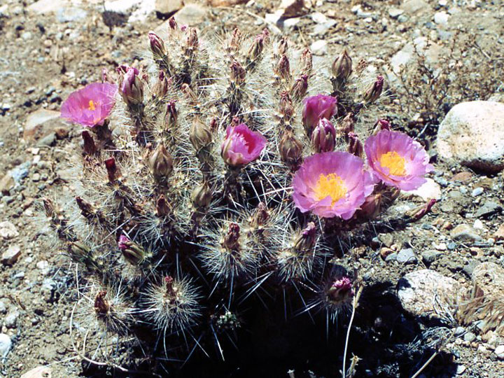
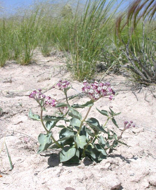
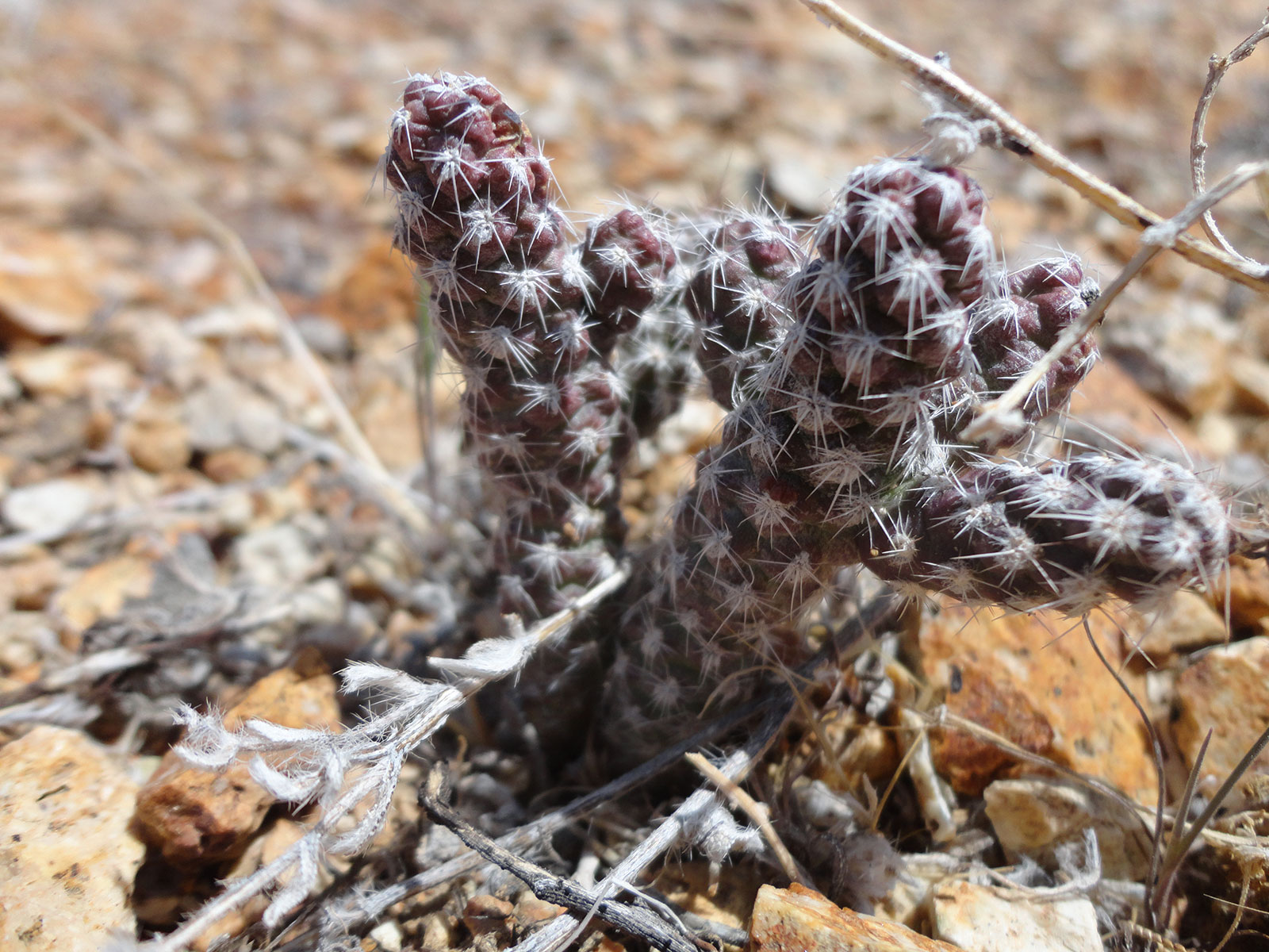
RES conducted extensive field work and surveys to ascertain the presence and probability of the presence of special status and T&E species based on the appropriateness of habitat and ecological settings. RES also monitored for noxious and invasive species.
The project area consists of steep slopes, rolling hills, rockslides, washes, bed rock flats, ridge tops, and scree-covered slopes. Upland vegetation in the Northern Basin and Range eco-region is generally dominated by saltbush-greasewood associations (Atriplex-Sarcobatus).
RES reviewed and verified the Ecological Site Inventory and NRCS soils information data, as well as Nevada Natural Heritage Program and Nevada Division of Wildlife data. A GPS log was maintained during the field survey work to assure proper coverage and documentation of field findings.
