Pajaro River Mitigation Bank
CONTACT

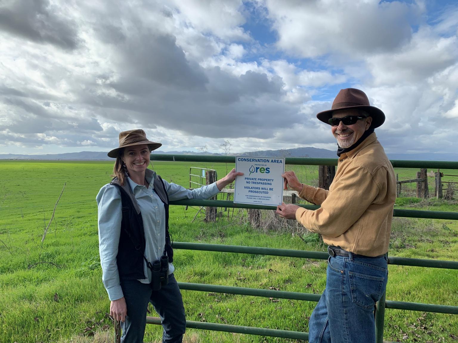
Dawn Cunningham and Dan York hang our first “RES Conservation Area” sign in California at the Pajaro River Mitigation Bank

Pajaro River Mitigation Bank

Pajaro River Mitigation Bank
PROJECT SNAPSHOT
Project Type
Mitigation BankLocation
California | San Benito CountyService Area
Wetland | Pajaro River HUC (18060002)Project Size
- Wetland: 147 AC
Solution
Wetland and Stream MitigationCredit Types
- Wetland
West Coast Credit Catalog
DownloadAsk About Credits
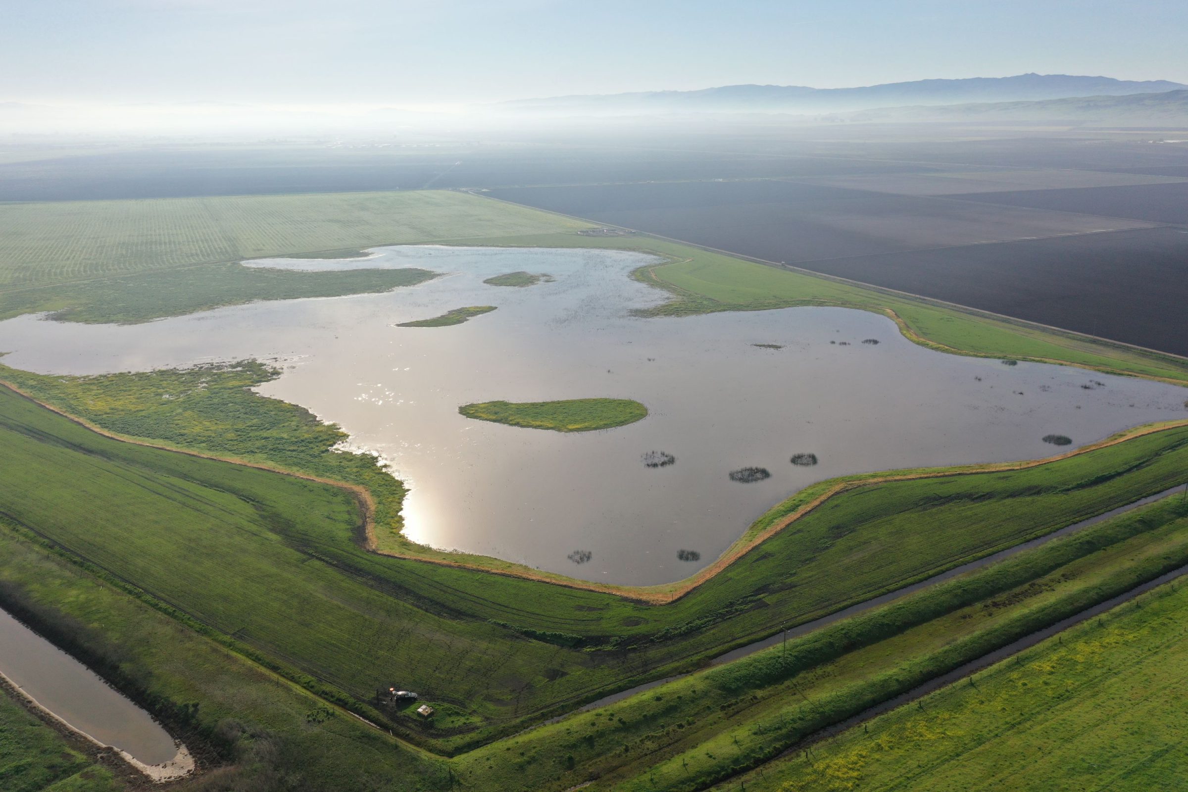
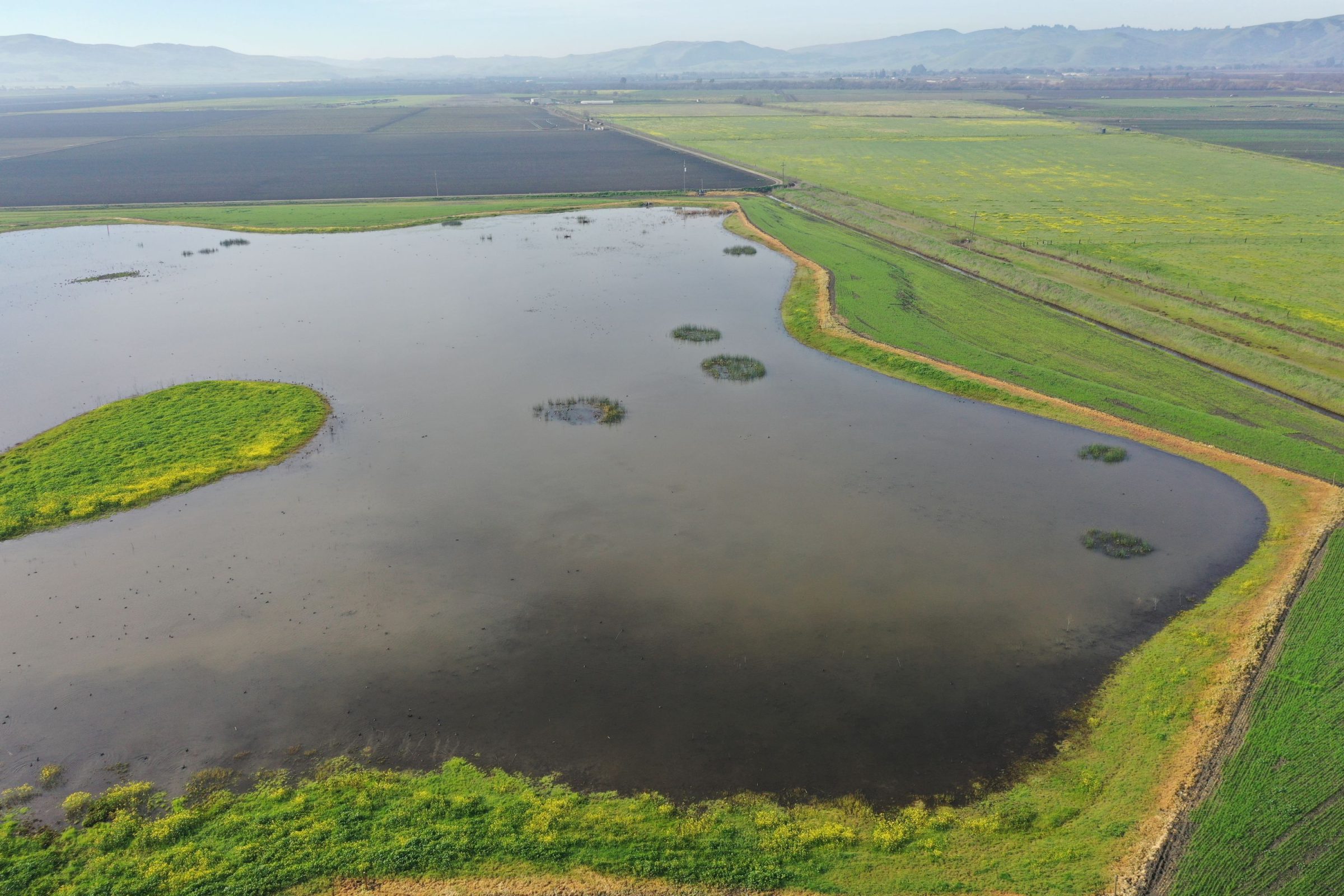
The 273-acre Pajaro River Mitigation Bank in San Benito County consists of a mosaic of 125.78 acres of upland and 147.59 acres of wetlands. The wetland habitats on the Bank consist of previously existing natural wetlands as well as constructed seasonal marsh, semi-permanent emergent marsh, and seasonally open water/mudflat habitats.
The Bank was approved by the U.S. Army Corps of Engineers and the U.S. Environmental Protection Agency for impacts to Wetland/Waters of the U.S. occurring within the Pajaro River HUC (18060002).
Available Credit Types
Download service area maps and KMZ files below:
