Places > Quaid Landing Nutrient Bank
Quaid Landing Nutrient Bank
CONTACT
Credit Sales Coordinator, Virginia

PROJECT SNAPSHOT
Project Type
Nutrient BankLocation
Virginia | Campbell CountyService Area
Roanoke River BasinProject Size
- Nutrient: 147.08 IBS
Solution
Water QualityCredit Types
- Nitrogen
- Nutrient
- Phosphorus
Ask About Credits
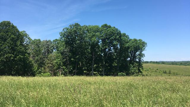
The goal of this 147.08-acre nutrient bank located in Campbell County is to reduce nutrient (phosphorus) and sediment loading into the Roanoke River watershed via the conversion of active agricultural land into forest; and generate non-point nutrient credits for transfer under existing and future federal, state and local law, programs, regulations and guidance. The site primarily consists of agricultural land in hay production and pasture. This site is within the twelve-digit hydrologic unit code (HUC) 030101021505 within the Roanoke River Basin. Specifically, the Roanoke River is the principle drainage for eight-digit HUC 03010102.
