Saltwell Springs Development and Wilsons Bottom Wetland Mitigation Site
CONTACT


PROJECT SNAPSHOT
Project Type
PRMLocation
Kentucky | Bullitt CountyService Area
Salt River Basin | Service Area 5Project Size
- Wetland: 9.3 acres AC
Solution
- Advisory Services
- Wetland and Stream Mitigation
Credit Types
- Forested wetland re-establishment
RES has been involved with numerous 404/401 permitting projects related to stream and wetland impacts associated with development sites. Many of these projects result in stream and wetland mitigation, which can lead to the opportunity for permittee-responsible mitigation (PRM), as discussed with this project.
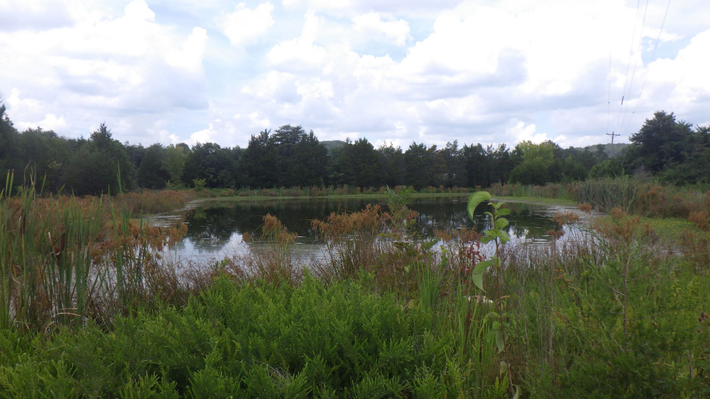
Saltwell Springs is a 51-acre residential development site in Bullitt County, Kentucky. The site comprised old agricultural fields cropped until the early 2000s and left fallow. Due to the hydric nature of the soil, about 10 acres of the site reverted to emergent, scrub-shrub, and young forested wetlands, along with 3 acres of open-water ponds. The project’s purpose was to provide approximately 470 units of mixed-used housing (apartments, townhomes, and single-family homes) in an area of Shepherdsville experiencing significant job growth and creation due to the industrial expansion, but with limited rental and housing supply. To obtain this purpose, the proposed development resulted in unavoidable impacts to 4.6 acres of wetlands and 2.9 acres for the construction of the residential development. To compensate for these wetland impacts, the developer needed to provide 9.3 acres of wetland mitigation. However, there were no wetland banks available within the Service Area for this project, and the developer was keen to mitigate the impacts near the development site. Therefore, the opportunity to present a PRM to the developer and utilize a long-standing relationship with Bernheim Arboretum and Research Forest (Bernheim) arose.
The developer, Bernheim, and RES all teamed together to get this PRM opportunity approved by the agencies. The 9.7-acre Wilson Bottoms Wetland Mitigation Site is owned by Bernheim and includes a drainage network that is a direct tributary to Wilson Creek, an Outstanding State Resource Water (OSRW). The purpose of the mitigation project is to restore natural wetland functions and services adjacent to Wilson Creek. Restoration efforts associated with this project will provide a host of watershed-related benefits, including flood flow attenuation and water quality improvement, as well as significantly enhanced wildlife and aquatic habitat functions by transforming the fallow agricultural field into a diverse forested wetland complex. The mitigation project will protect 9.72 acres of forested wetland habitat in perpetuity through a conservation easement.
Final approvals of the Mitigation Plan and 404/401 permits were issued in August 2024. RES has since initiated the restoration activities associated with the Wilsons Bottoms Wetland Mitigation Site, and the 10-year monitoring is scheduled to begin in 2025.
This project exemplifies RES’s commitment to solving environmental permitting problems and allowing for environmental stewardship. It highlights the company’s ability to navigate complex regulatory environments and logistical challenges to deliver timely and effective ecological solutions. This project is a model of efficient PRM mitigation associated with 404/401 permitting opportunities.
