Places > Sandhill Mitigation Bank
Sandhill Mitigation Bank
CONTACT


PROJECT SNAPSHOT
Project Type
Mitigation BankLocation
Tennessee | Rutherford CountyService Area
05130204-Harpeth | 05130203-Stones | 05130202-Cheatham LakeProject Size
- Wetland: 68.4 AC
Solution
Wetland and Stream MitigationCredit Types
- Wetland
Ask About Credits
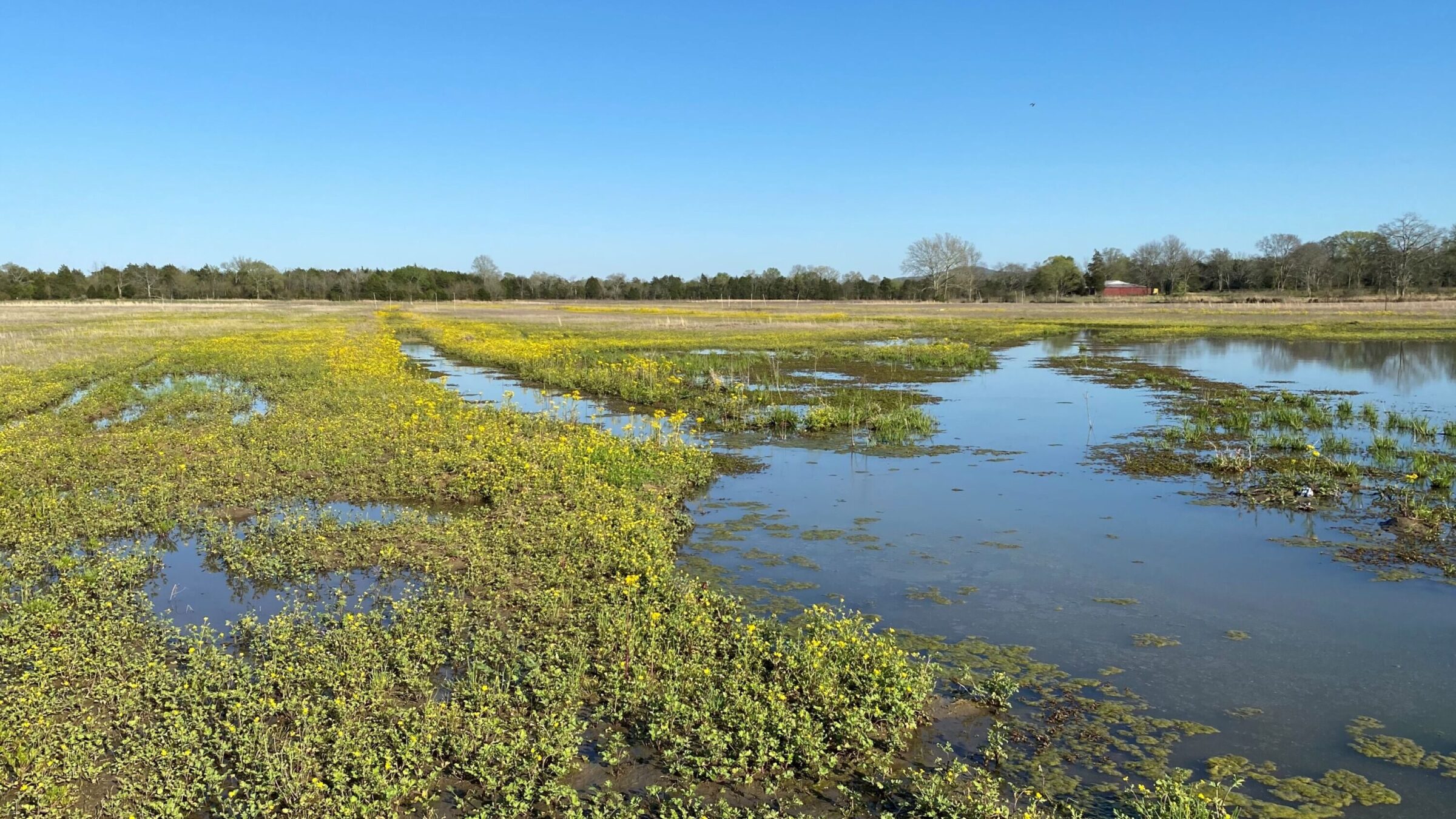
The Sandhill Bank site is situated in the heart of Tennessee, just three miles northeast of Eagleville in Rutherford County, Tennessee. It is strategically located within the Harpeth River watershed (HUC 8 – 05130204), which is part of the larger Cumberland River basin. Moreover, this Bank will also serve the Stones watershed (HUC 8 – 05130203) and the Cheatham Lake watershed (HUC 8 – 05130202). The project is specifically located in the Interior Plateau physiographic region of Tennessee, falling within the Inner Nashville Basin Tennessee ecoregion. With a goal to restore natural habitats, this Bank will reestablish an impressive 68.4 acres of forested wetland.
