Shiitake Ridge Mitigation Bank
CONTACT
Credit Sales Coordinator, North Carolina


PROJECT SNAPSHOT
Project Type
Mitigation BankLocation
North Carolina | Henderson CountyService Area
French Broad 05 River Basin | HUC 06010105Project Size
- Wetland: 24.52 AC
Solution
Wetland and Stream MitigationCredit Types
- Stream
- Wetland
Ask About Credits
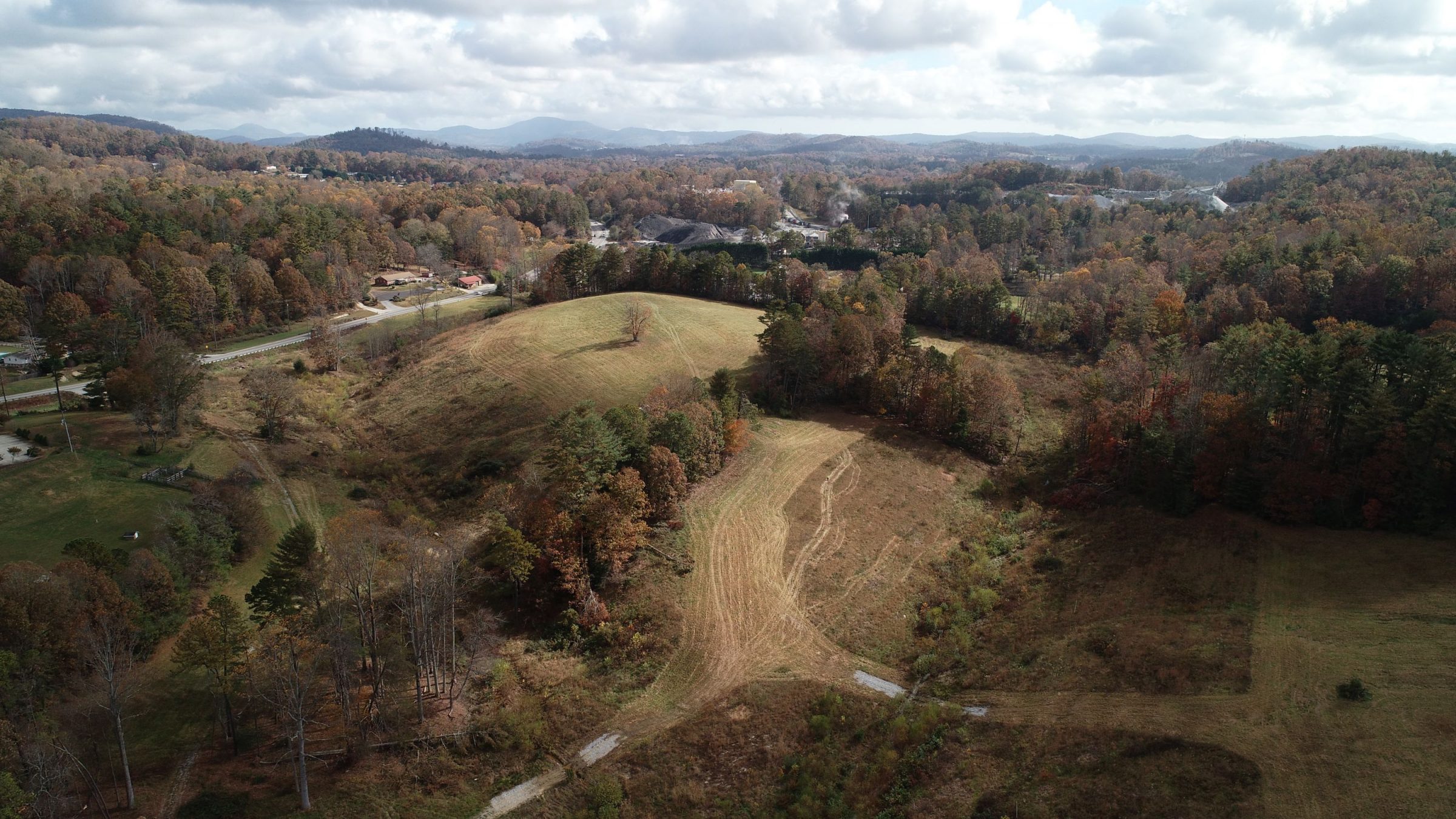
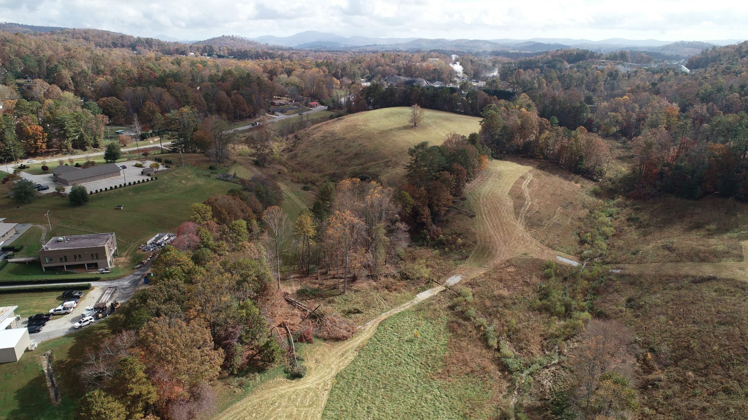
The Shiitake Ridge Site is located in Henderson County, approximately three miles north of Hendersonville, NC.
The site involves restoring and enhancing two unnamed tributaries of Mud Creek that have been disturbed by agricultural activities and cattle grazing. The site is contained in one parcel totaling approximately 24.52 acres of the conservation easement and is located within a lightly developed residential and commercial area. Land use within the project watershed comprises agricultural, residential, and forested land uses.
The conceptual design presents the opportunity to provide up to 3,595.667 Cool SMUs. The site will provide significant ecological uplift, including the reduction of nutrient inputs via livestock exclusion and the reduction of sediment inputs from eroding stream banks. Streams will be restored by constructing channel patterns, dimensions, and profiles to reference reach conditions.
