Tull Wooten II
CONTACT
Credit Sales Coordinator, North Carolina

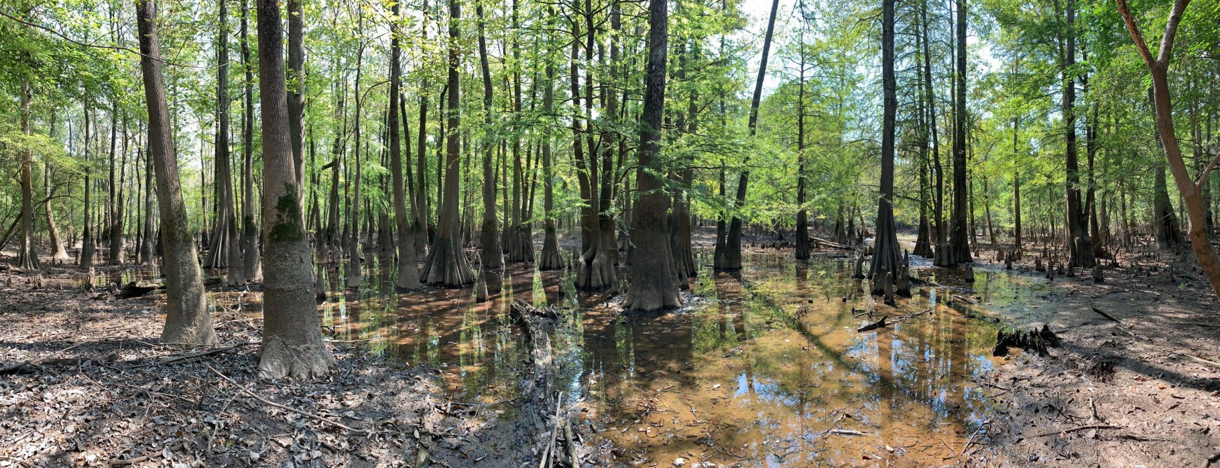
Tull Wooten II. Cypress trees with buttressed bases, moss trim lines, and water marks that indicate extended residence of standing water in the system.

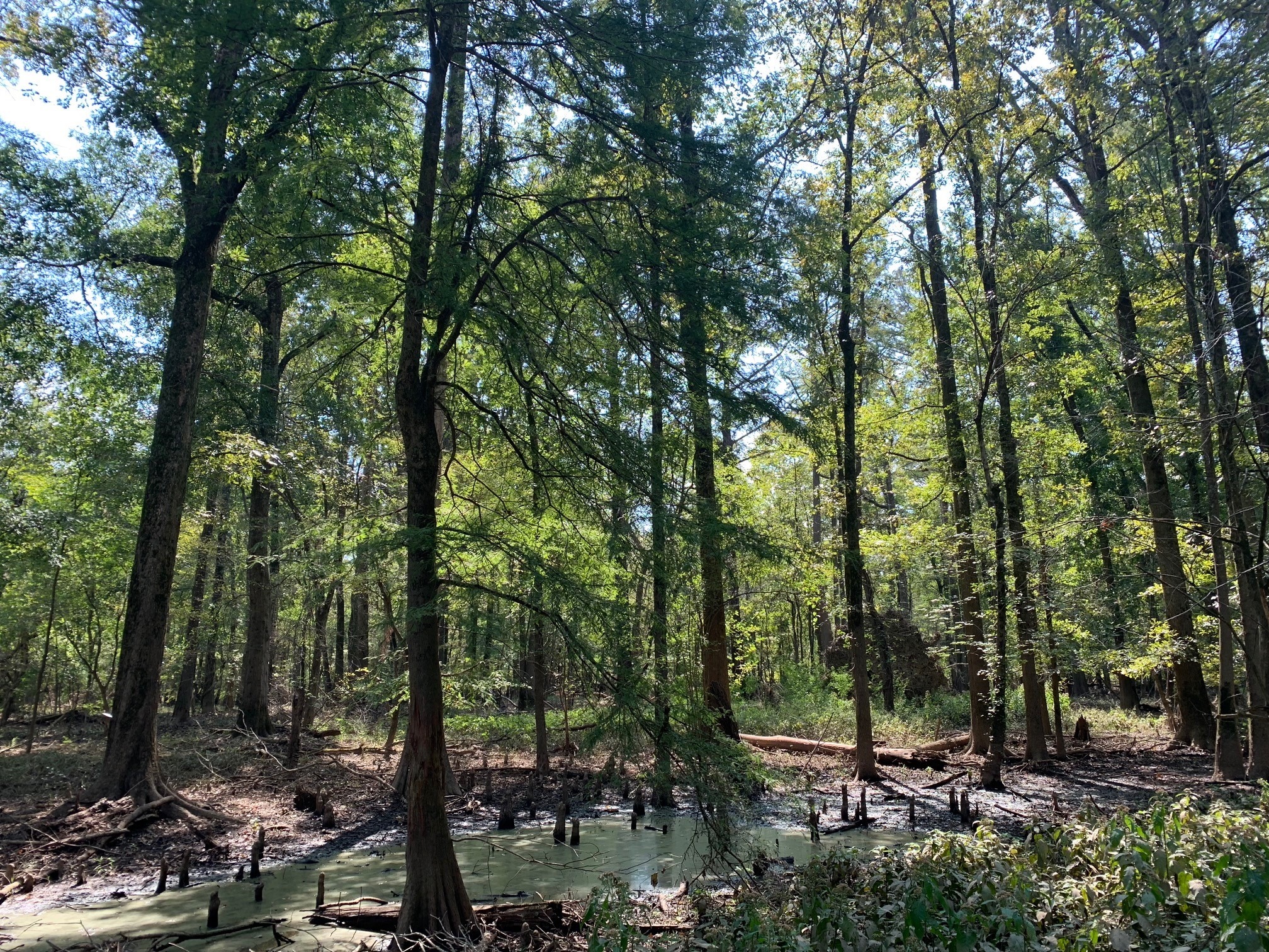
Tull Wooten II. Bald cypress trees and bald cypress knees in wetland areas. Standing water, algae, sediment deposits are all present.

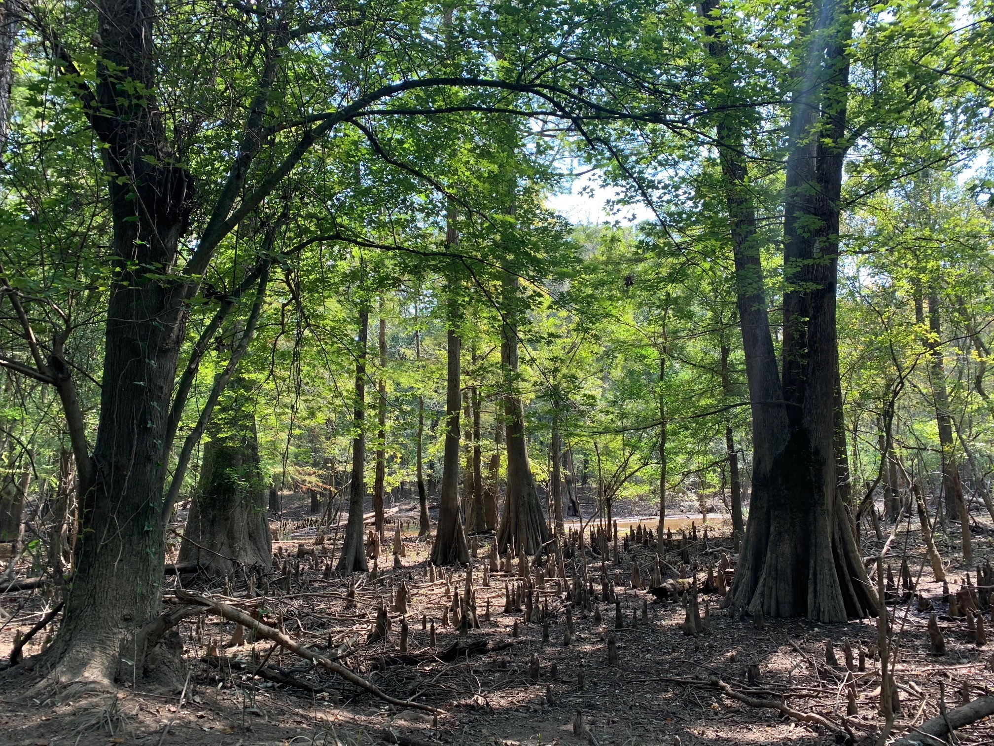
Tull Wooten II. Bald cypress trees and bald cypress knees in wetland areas. Standing water, algae, sediment deposits are all present.
PROJECT SNAPSHOT
Project Type
Mitigation BankLocation
North Carolina | Lenoir CountyService Area
03020202Solution
Wetland and Stream MitigationCredit Types
- Non-Riparian Wetland
Ask About Credits
The Tull Wooten II Mitigation Site encompasses 42.5 acres of riverine wetlands in Lenoir County, North Carolina. Developed under the Neu-Con Umbrella Mitigation Bank, the project generates wetland mitigation credits to offset permitted impacts within the Neuse River watershed.
Located within this sensitive watershed, the preserved wetland areas provide critical functions for water quality and habitat, supporting regional efforts to protect and enhance aquatic ecosystems.
Consistent with the Neu-Con Umbrella Mitigation Banking Instrument (UMBI), credits generated by the Tull Wooten II site may be used to offset impacts authorized under Section 404 of the Clean Water Act. Credits are typically debited at a 2:1 ratio, requiring one credit from restoration activities, with the remaining credit derived from restoration, enhancement, creation, or preservation.
Through this project, RES advances watershed-scale conservation, providing durable ecological benefits to the Neuse River basin.
