Upper Susquehanna River – Phase II Stream Mitigation Bank
CONTACT

Jon Kasitz
Region Manager, Client Solutions, East

PROJECT SNAPSHOT
Project Type
Mitigation BankLocation
Pennsylvania | Tioga and Potter CountiesService Area
Upper Susquehanna River Subbasin-4Project Size
- Wetland: 13.28 AC
- Streams: 9,374.00 LF
Solution
Wetland and Stream MitigationCredit Types
- Bottomland hardwood forest
- CWA 404
- Riparian
- Stream
- Wetland
Ask About Credits
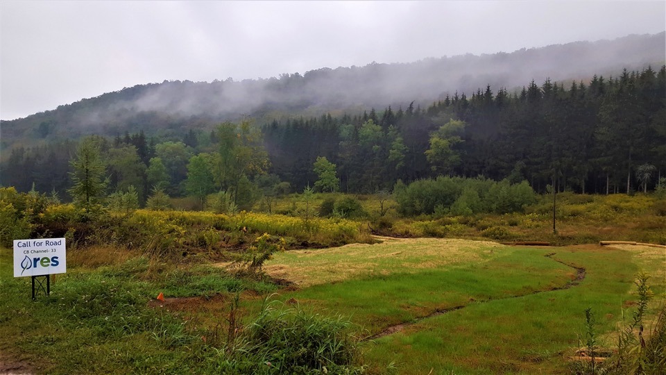
This mitigation bank encompasses 134.43 total acres of land to be protected in perpetuity. The bank restores and preserves self-sustaining, functional stream, wetland, and riparian corridors and replaces the functions and services lost from adverse impacts to streams and wetlands due to various permitted development projects within the Upper Susquehanna River Subbasin. These development efforts will provide an in-kind replacement for the direct loss or functional degradation of the stream, wetland, and riparian resources that result from unavoidable aquatic resource impacts. Also, the structural establishment of these functional improvements in advance of the compensated functional impacts will serve to eliminate the temporal loss of function that may result from alternative mitigation approaches.
