- People
- Working Here
-
-
A Career with an Impact
View Available Jobs »
-
Student Internship Opportunities
Learn More »
-
-
- Safety (EHS&S)
Creating a Culture of Safety
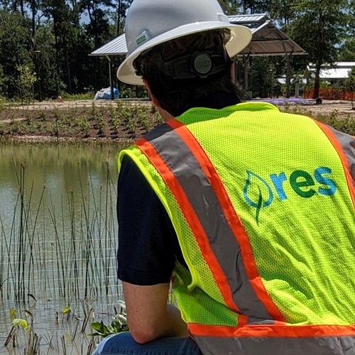
Our team is dedicated to empowering team members with safety leadership and promoting a safe, secure and environmentally- friendly work environment in all facets of our business.
- Landowners
Find Landowner Representative in my State
 Explore making part of your land, a legacy of resiliency for future generations.
- Vendors
- Working Here
- Capabilities
- Our Solutions
- Our Approach
What is “Active Stewardship”?
 At RES, we don’t build sites and walk away. We design them to thrive, and stick around until they do.
- Industries
- Videos
- Our Solutions
- Places
- Buy Credits
Buy Mitigation Credits
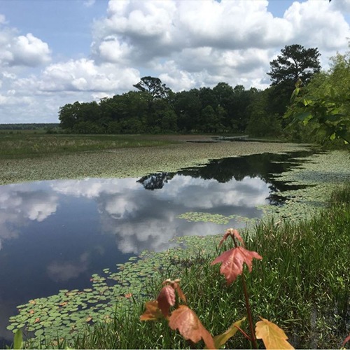 Impacts are sometimes unavoidable. For these situations, we offer ecological offsets in the form of mitigation credits.
- Find Projects
Find Projects
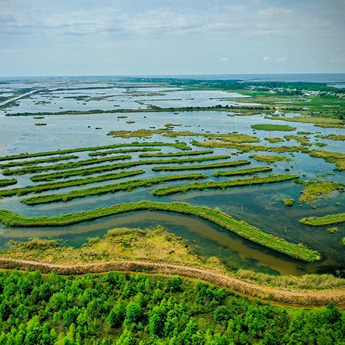 RES delivers resiliency, project by project. Understanding them is the best way to get to know us.
- Search States
Search by State
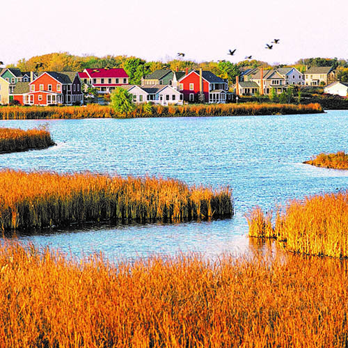 Keeping the ecological balance is an intensely local endeavor. See how we meet the challenge in your area.
- Nurseries
-
- Buy Credits
- About Us
- Who We Are
- Leadership Team
Meet our Leadership Team
- Acquisitions
We are growing the RES family.
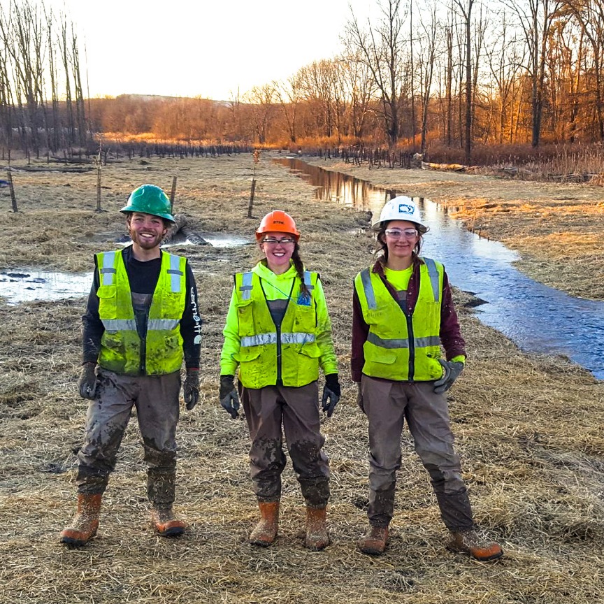 We strengthen our team by bringing on respected teams of experts with local knowledge and experience, who share our vision of a resilient earth.
- News
- Who We Are
- Restoring at Scale
- Buy Credits
- Contact Us
Places > Puncheon Fork Mitigation Bank
Puncheon Fork Mitigation Bank
PROJECT SNAPSHOT
Project Type
Mitigation BankLocation
North Carolina | Madison CountyService Area
French Broad 05 River Basin | HUC 06010105Project Size
Wetland: 13.27 ACSolution
Environmental Mitigation, Stream Mitigation, Wetland MitigationHabitat Types
- Riparian wetland
- Stream
Ecological Setting
Streams, WetlandsThe Puncheon Fork Mitigation Project is located within a rural watershed in Madison County, North Carolina, approximately five miles northwest of Swiss, NC. The Project lies within the French Broad River Basin, and USGS 12-digit HUC 060101051001. The Project is being designed to help meet compensatory mitigation requirements for cold stream and riparian wetland impacts in HUC 06010105. The Project area is comprised of a 13.27-acre easement involving Puncheon Fork and three of its unnamed tributaries as well as a segment of Hampton Creek, which all drain into Upper Big Laurel Creek and, eventually, the French Broad River.
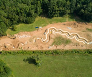
The streams and wetlands proposed for restoration and enhancement have been significantly impacted by long-term agricultural practices, specifically livestock husbandry, which has contributed to degraded stream channels and the lack of riparian wetland and buffer vegetation throughout the Project. Puncheon Fork and Hampton Creek are trout waters and have increased sedimentation from hoof shear, bank erosion, and pasture runoff. Proposed improvements to the Project include bank stabilization, stream habitat structure installation, cattle exclusion fencing, and buffer planting. The Project presents 3,157 Cold SMUs, and 1.00 Riparian WMUs.

 Read the latest news about RES, our projects and our people.
